El Niño could set up a powerful winter for the North Pacific, with California and Hawaii among the regions to watch for large swell. But the climate pattern doesn’t produce the same result everywhere, and a big forecast wave isn’t automatically a good surf day. Storm track, swell direction and local winds will decide what reaches the coast—and whether it’s surfable.
NOAA’s November assessment described El Niño as strengthening rapidly, with the potential to rank among the strongest events in modern records. That raises the stakes for the coming winter, though seasonal patterns can’t predict the conditions at any particular break.
Why the North Pacific is the main event
El Niño is the warm phase of the El Niño Southern Oscillation, or ENSO, a natural pattern involving ocean temperatures and atmospheric circulation across the tropical Pacific. As the central and eastern equatorial Pacific warms, the effects can extend into the position of the jet stream and the development and paths of storms.
For surfers, the key link is between storms and swell. Stronger or more favorably placed North Pacific systems can send powerful waves toward California and Hawaii. The winters of 1982–83, 1997–98 and 2015–16 offer notable examples of strong El Niño conditions coinciding with significant surf. The 1982–83 winter brought XL waves to California, along with damaging coastal impacts.
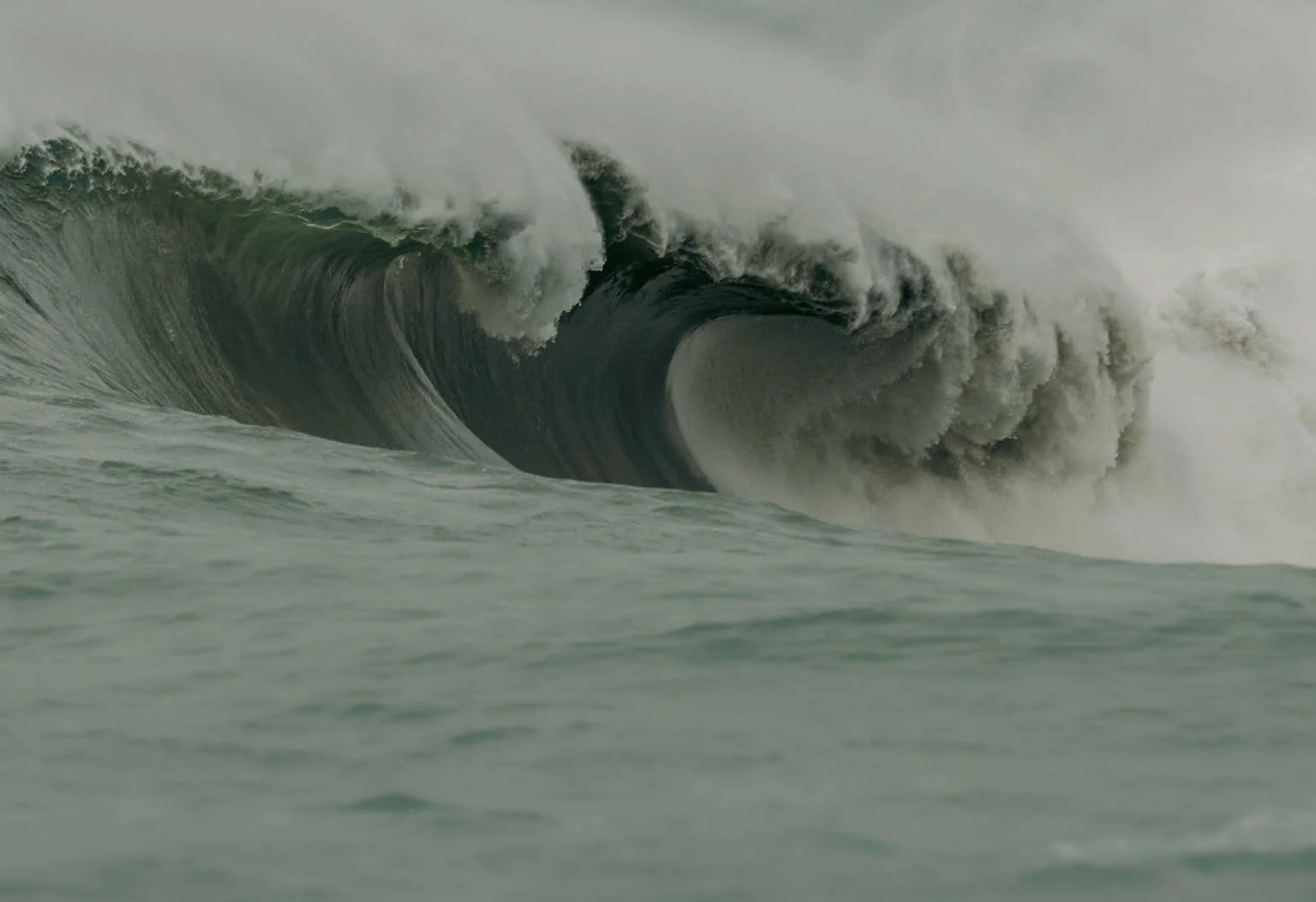
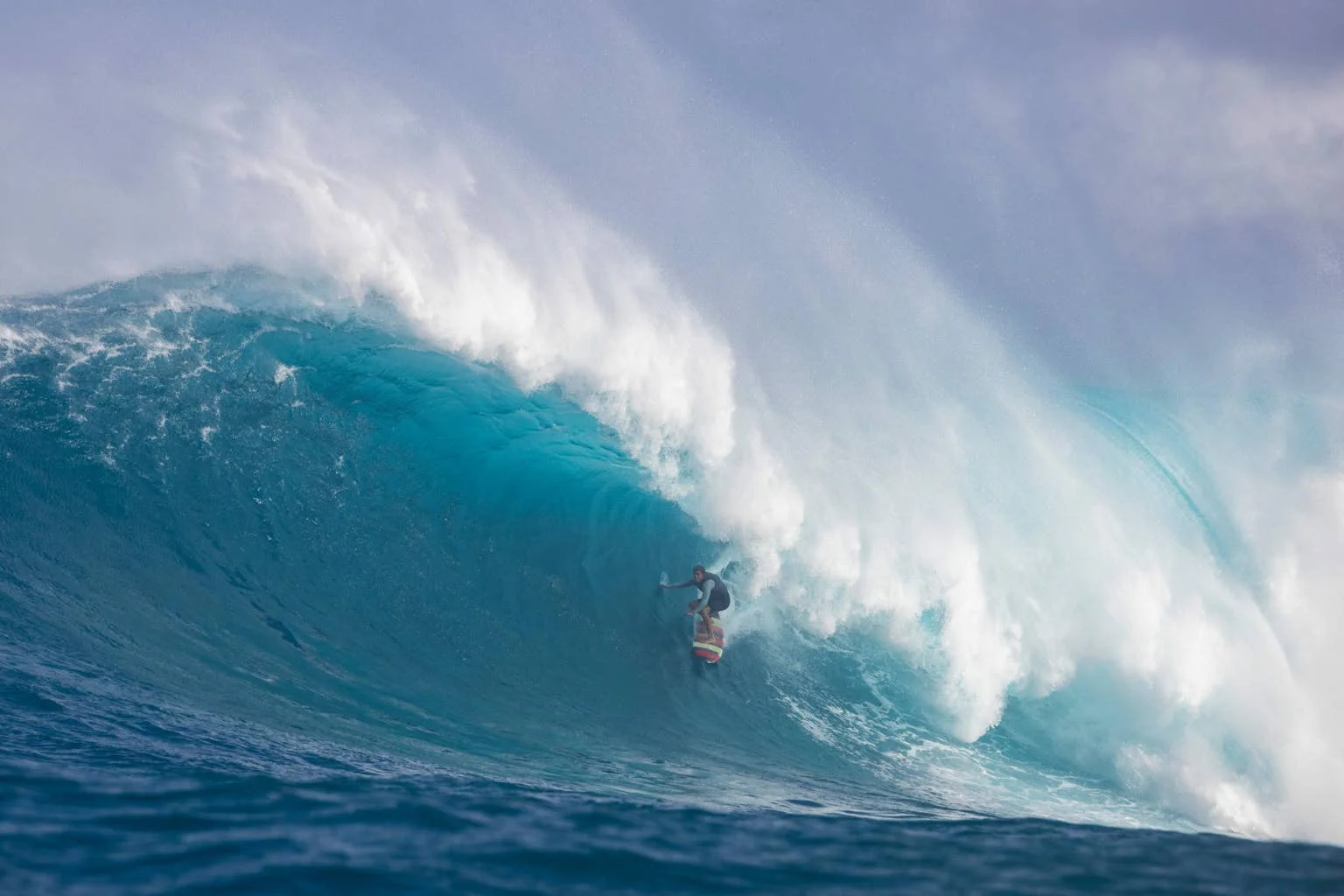
Those precedents make a big season at breaks such as Maverick’s and Jaws plausible. They don’t make it certain. A storm’s location and direction affect which coasts receive its energy, while wind conditions determine whether a swell arrives clean or unruly. The practical read: there may be more powerful swell in the Pacific, but surfers will still be watching each individual system.
Related: El Niño Crystal Ball: What’s Coming Next From This Godzilla El Niño Swell Season?
Japan’s winter setup may cut both ways
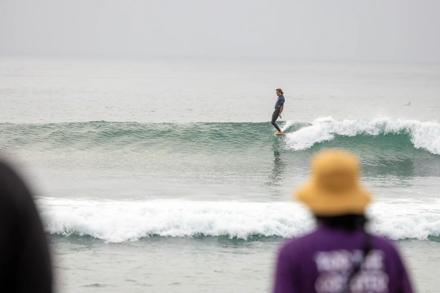
Japan’s outlook is less straightforward. A 2021 study, “On the Influence of ENSO Complexity on Pan-Pacific Coastal Wave Extremes,” described an east–west seesaw in extreme wave activity: El Niño patterns can increase wave energy in the eastern Pacific while reducing activity in parts of the west.
Japan’s familiar winter surf often depends on cold northwesterly winds from Siberia crossing the Sea of Japan. Those winds are tied to the Siberian High and the winter monsoon. El Niño can weaken both, potentially reducing the persistence of these continental wind events.
At the same time, El Niño tends to increase storm activity along Japan’s southern and Pacific coasts. For areas including Chiba, Shonan, Shikoku and Miyazaki, that could mean more swell opportunities, but not necessarily a consistent run of clean conditions. Different regional weather patterns are pulling in different directions, so local forecasts will matter more than a broad seasonal label.
Europe’s swell depends on Atlantic weather
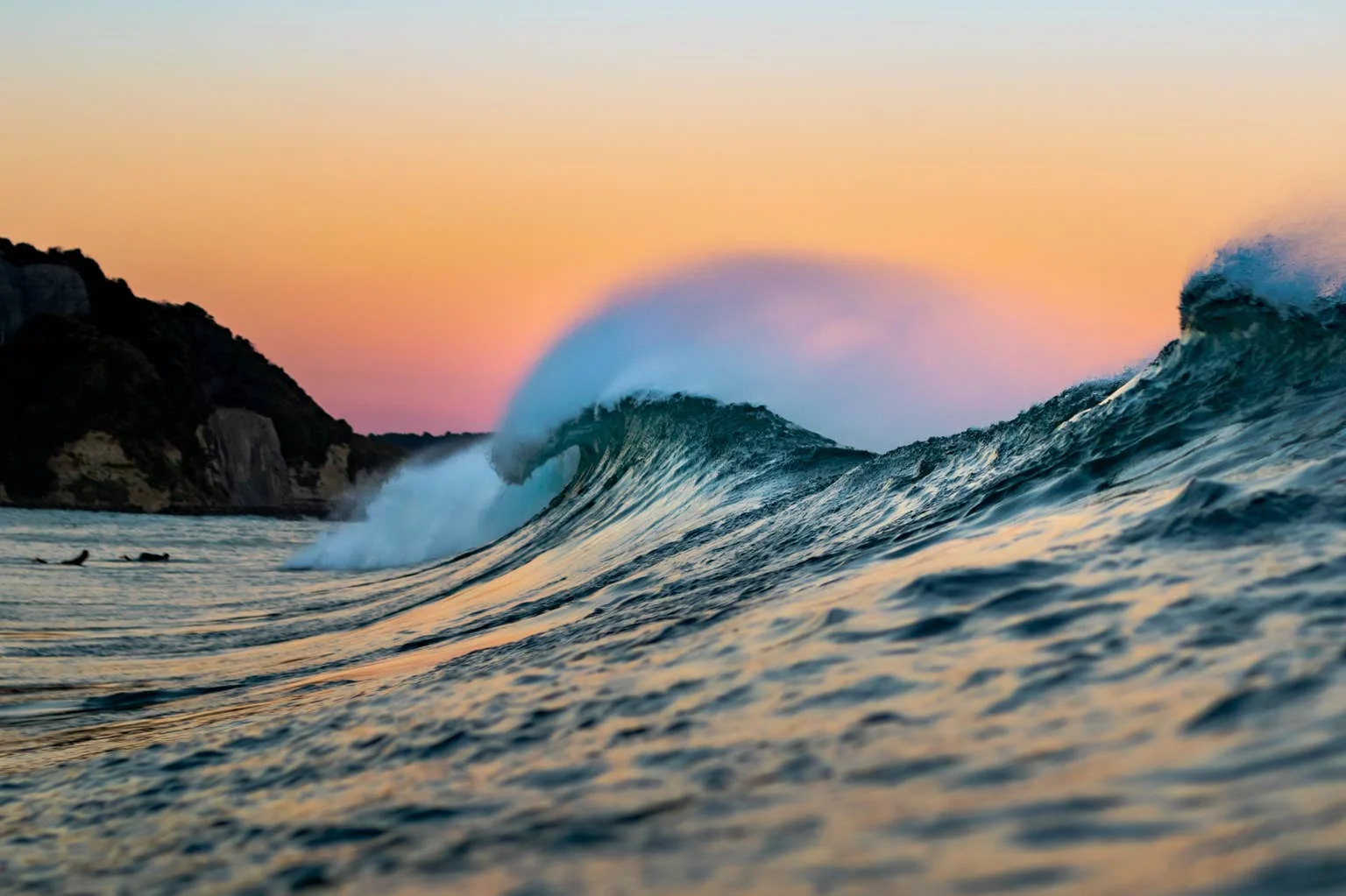
El Niño’s influence on the Atlantic is indirect. Changes to global circulation and the jet stream can affect the North Atlantic storm track, which supplies much of the swell reaching the UK, Ireland, France and Portugal. But the Pacific signal alone can’t tell European surfers whether a storm will form, where it will travel or what winds it will bring.
The North Atlantic Oscillation (NAO), which describes shifts in atmospheric pressure across the North Atlantic, remains a major factor in storm development and routing. That makes it a more immediate indicator for Europe’s winter surf than El Niño itself.
The winters of 2015–16 and 2023–24 provide useful comparisons. Both had strong El Niño conditions and stormy weather in the UK during early winter. Met Office research published in 2026 found similarities between the periods, including below-average pressure west of the UK. That context points to the potential for active Atlantic storms, but doesn’t guarantee a repeat or establish El Niño as the cause of every storm.
Western-facing coastlines—including Cornwall, Devon, Wales and Ireland—are exposed to Atlantic swell, as are Portugal and western France. Strong storms can generate large groundswells, but can also bring onshore winds and difficult conditions. The better sequence is often a swell-producing storm followed by lighter winds as the system moves away.
Signals to follow through winter
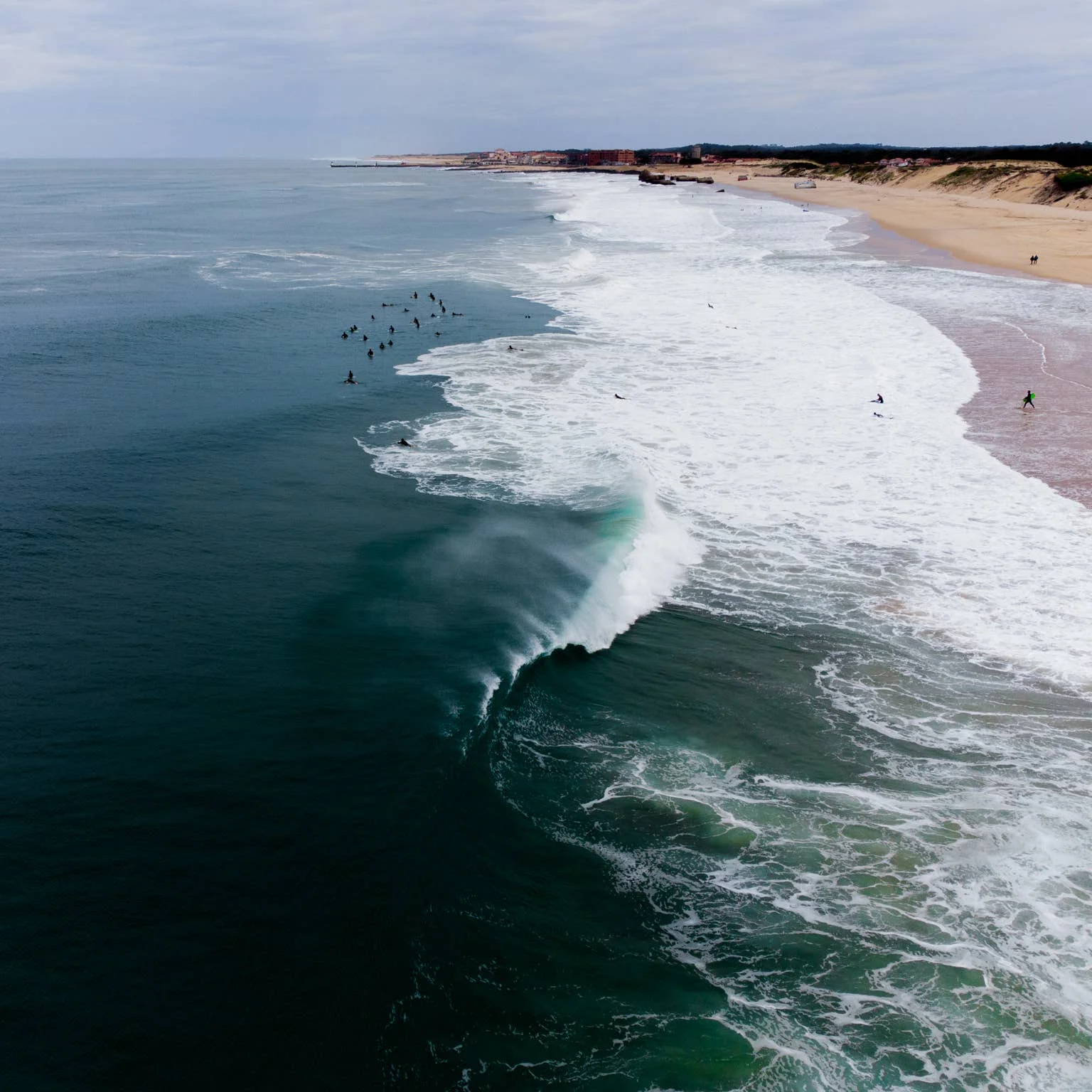
For California and Hawaii, the central question is how the North Pacific storm track develops: its position and strength will shape the timing and reach of winter swell. In Japan, the balance between the weakening winter monsoon and increased storm activity to the south and east will help determine where opportunities emerge.
European surfers should keep an eye on the NAO and the jet stream, since both can influence where Atlantic storms form and whether they track toward western Europe. Seasonal outlooks from NOAA, ECMWF and the Met Office can add context as the winter unfolds, but individual storm forecasts will provide the useful detail.
El Niño raises the possibility of a high-energy Pacific season, with Maverick’s and Jaws in the conversation. The more reliable takeaway is to track the storms themselves: their paths, the swell they generate and the winds that follow.
Related: Where Do The Biggest Waves In The World Actually Come From?